Aerial Mapping • 3D Modeling • Inspection
Precision drone
solutions for surveying, inspection & mapping
Providing accurate aerial mapping, 3D modeling, inspections and high-resolution imagery for construction, industry, property owners, and other applications.
Experience
Advanced + Level 1
Transport Canada
Certified
High-Accuracy
RTK Aerial Mapping
45+ Years
Survey & Construction
Experience
Why DroneStripe
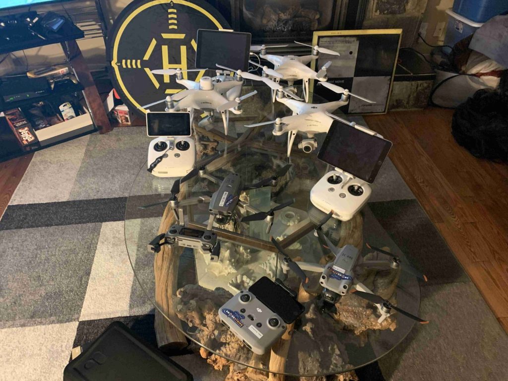
Experience Behind the Technology
DroneStripe combines modern drone technology with decades of real-world surveying, construction, and project experience.
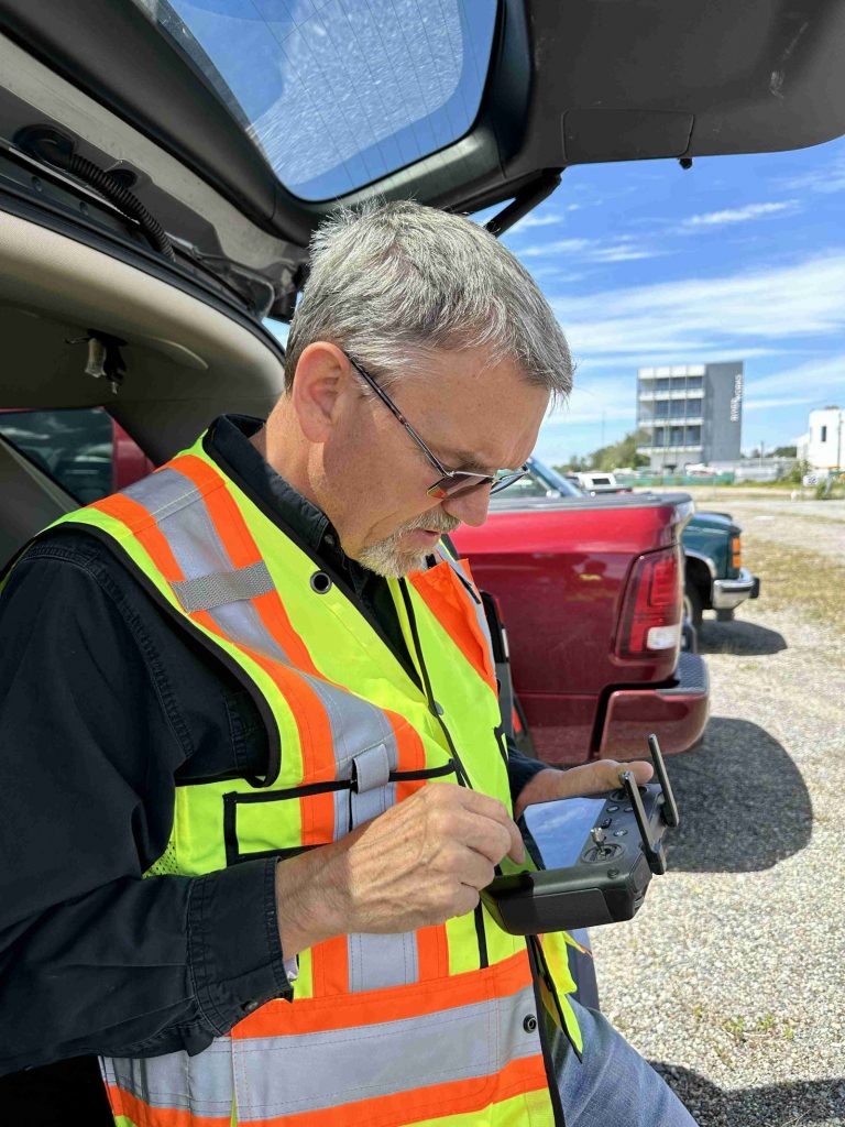
With more than 45 years of surveying and construction experience and over a decade of professional drone operations, DroneStripe understands that collecting aerial imagery is only part of the job. The real value comes from understanding the project, capturing the right information, and delivering useful data that helps clients make better decisions.
From aerial mapping and 3D modeling to inspections and professional photography, DroneStripe provides practical drone solutions backed by extensive field experience.
45+ Years Surveying & Construction Experience
Extensive experience in construction, mining, oil & gas, infrastructure, and major projects.
12+ Years Professional Drone Experience
Drone operations supporting surveying, mapping, construction, inspection, and project documentation.
Transport Canada Certified
- Pilot Certificate – Advanced Operations
- Pilot Certificate – Level 1 Complex Operations
Level 1 Complex certified following the introduction of Canada’s new RPAS regulations in 2025.
Services
Expertise across the industrial aerial workflow
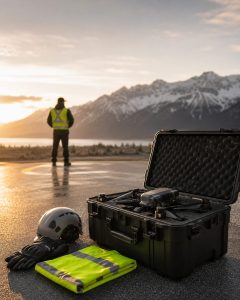
Aerial Services
DroneStripe provides professional aerial photography, video, and inspection imagery for real estate, properties, farms, ranches, and difficult-to-access areas.
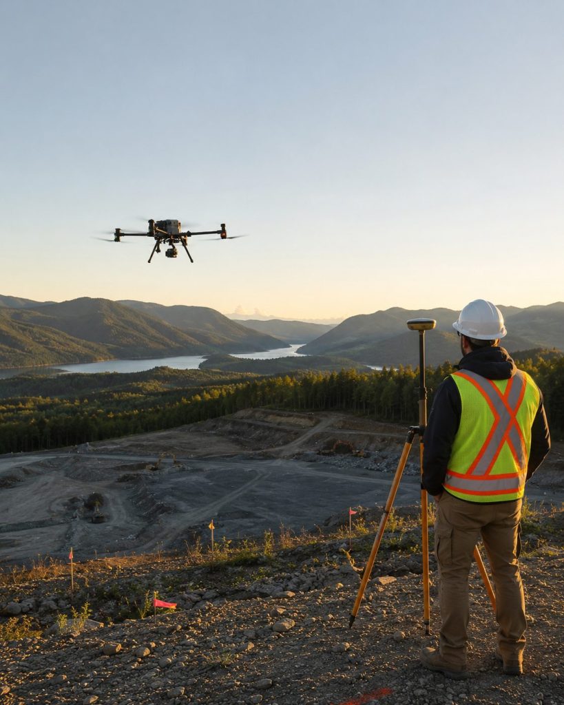
3D Modelling
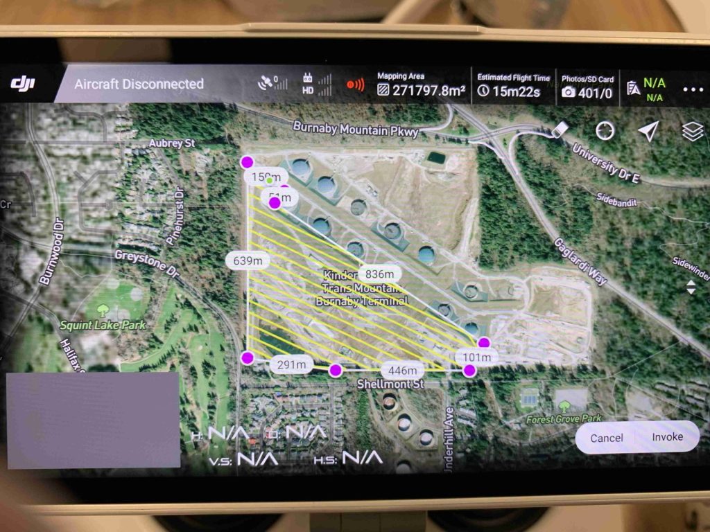
DroneStripe uses drone-based photogrammetry to create accurate aerial maps and 3D models of construction sites, project areas, stockpiles, quarries, and other large properties.
Resources
Practical guidance for Canadian drone pilots and commercial operators.
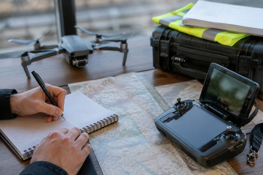
Pilot Licensing
Canada has three main levels of drone pilot certification. Understand which certificate applies to your operation and what Transport Canada requires.
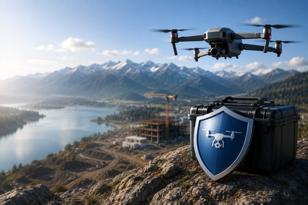
Drone Insurance
Transport Canada recommends insurance for standard operations, and clients often require it. Learn what coverage professional operators should consider.
Frequently asked questions
Everything you need to know before getting started
We work with construction, infrastructure, energy, and mining teams on surveying, aerial capture, progress monitoring, and asset inspections, from single-site captures to multi-phase programs.
With ground control and RTK-enabled workflows we routinely deliver survey-grade results suitable for engineering, volumetrics, and as-built verification. Accuracy targets are confirmed with you before the flight.
Typical deliverables include orthomosaics, digital surface and terrain models, point clouds, contours, 3D models, and annotated progress imagery, supplied in the file formats your team already uses.
Scheduling depends on project location, airspace, site access, weather, and the scope of work. Local projects can often be accommodated quickly, while projects requiring significant travel are scheduled based on location and project requirements. For larger or recurring projects, DroneStripe can also coordinate qualified pilots closer to the project location where appropriate.
Yes. All operations are conducted by certified pilots under the appropriate regulatory approvals, with liability coverage and documented safety procedures for every deployment.
Send us your site location, project type, and the outputs you need using the contact form. We will follow up with a clear scope, schedule and quotation.
Get in touch
Request a quote
Tell us about your project, and we’ll provide a
tailored quote based on your requirements.