About DRONESTRIPE
Decades of surveying expertise, elevated by modern drone technology
DroneStripe pairs 45+ years of geomatics and infrastructure
|experience with today’s aerial platforms, delivering accurate,
trusted geospatial data for the teams building Canada.
Accuracy
Safety
Innovation
Reliability
Integrity
Client Partnership
Our Story
Where traditional surveying meets modern drone technology
DroneStripe is the trusted digital hub, directory and resource for UAV professionals, hobbyists and enthusiasts. It began with a simple idea: to build a Canadian network, with the goal of going worldwide, that supports the drone industry in an entirely unique way.
Whether you’re a drone operator, an aerial media consumer, or a team looking to hire a proven professional, DroneStripe is built to be your go to resource, grounded in decades of real field experience across surveying, construction and infrastructure.
Our mission is to connect that expertise with the people who need accurate geospatial data most, faster, safer and more efficiently than ever before.
- Worked for a number of survey companies, land surveyors and major projects across Canada before joining Ledcor.
- Managed survey operations for a major Ontario gold mine from development through open-pit completion.
- Contributed to Alberta Oil Sands, coal mining, diamond mining, pipelines and large-scale infrastructure projects across Canada.
- Led surveying activities for a diamond mine pit in Yellowknife, Northwest Territories.
- Supported complex construction and heavy civil projects through geomatics, CAD, cadastral and construction surveying.
Meet the Founder
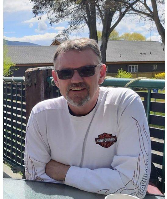
Wesley Mossing, Founder & Owner
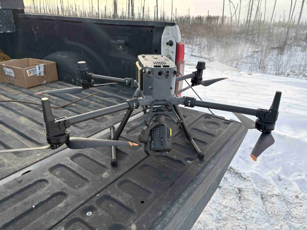
Wes brings 45+ years of surveying, geomatics, construction and infrastructure experience together with 12+ years of professional drone operations. The final 16 years of his surveying career were with Ledcor, where he served as Chief Drone Pilot, following work with a number of survey companies, land surveyors and major projects throughout Canada.
- 45+ years of surveying, geomatics, construction and infrastructure experience
- 12+ years of professional drone operations
- Ledcor’s Chief Drone Pilot; final 16 years of his surveying career with Ledcor
- Experience spanning mining, oil sands, pipelines, heavy civil construction, cadastral and construction surveying
- Combines decades of surveying expertise with modern drone technology for accurate geospatial solutions
Why clients choose DroneStripe
Real field experience and survey grade precision on every deliverable.
Surveying Expertise
Four decades of professional surveying and geomatics behind every dataset we deliver.
Aerial Photogrammetry
High resolution orthomosaics, 3D models and point clouds built from precise aerial capture.
Construction Progress Monitoring
Regular aerial documentation that keeps stakeholders aligned across the project lifecycle.
Infrastructure Inspections
Safer, faster inspections of pipelines, structures and hard to reach assets.
Accurate Geospatial Deliverables
Survey grade accuracy you can bring straight into your design and GIS workflows.
Practical Field Experience
Real world knowledge from oil & gas, mining and industrial construction sites.
Experience & projects
Real field experience and survey grade precision on every deliverable.
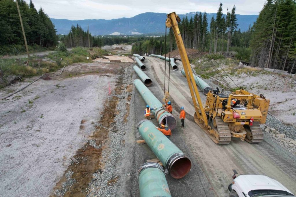
Energy
Trans Mountain Expansion
Spread 7, the Burnaby and Westridge Terminals and the final 16 km of pipeline, including the 2.5 km tunnel. Administered the Propeller photogrammetry site used across this portion of the project.
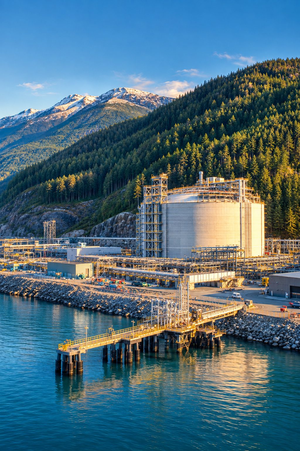
Energy
Woodfibre LNG
Survey Manager for the first year and a half of the project near Squamish, and administrator of the Propeller site used for aerial imagery and photogrammetry.
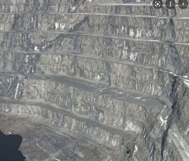
Mining & Infrastructure
Mining & Infrastructure
Stockpile, site and terrain capture across active mining and industrial sites.
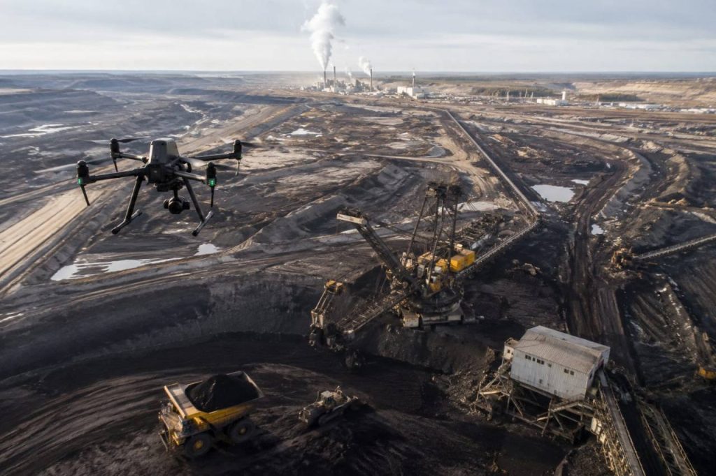
Innovation
Leadership in Drone Technology
Beyond individual projects, DroneStripe leads in modern drone operations, advancing how industrial teams capture and use aerial data.