
3D Modeling & Aerial Mapping
Accurate aerial data. Detailed 3D models. A clearer view of your project.
High-resolution aerial mapping and 3D modeling for construction sites and large project areas, delivering scaled orthomosaics and measurable site data.
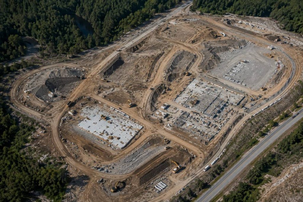
See the entire project from above
More Than an
Aerial Photograph
An updated orthomosaic provides an accurate, scaled and positioned view of the entire project site. It gives project teams a practical tool for planning, coordination, documentation and construction monitoring.
Use current site imagery to:
Monitor
Track construction progress over time.
Review
Clearing, grading, excavation and fill activities.
Identify
Potential construction or design conflicts.
Compare
Current site conditions against project designs.
Overlay
DWG or DXF design information on aerial imagery.
Document
Site conditions at specific stages of construction.
Regular site updates
Keep Your Project View Current
The frequency of aerial mapping can be tailored to the needs and pace of your project.
Monthly
For long-term development and ongoing site documentation.
Quarterly
For projects where periodic progress records are required.
Weekly
For active construction and fast-moving site conditions.
Daily
For projects requiring highly frequent monitoring.
Regular flights create a consistent visual record of how a project develops, allowing current site conditions to be compared
with previous surveys and project design information.
For fast-moving construction projects, this can help project managers, engineers, surveyors and construction personnel
identify potential issues earlier, confirm completed work and make better-informed decisions about upcoming activities.
Volumetric surveys
Measure What’s On the Ground
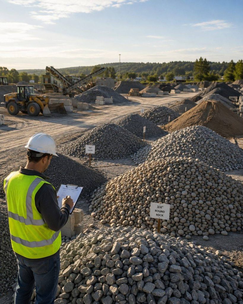
DroneStripe provides aerial volumetric surveys for stockpiles, gravel pits, quarries, construction sites and other areas where accurate material quantities are required.
Using drone-based photogrammetry, high-resolution aerial imagery is processed into a scaled 3D model. From this model, individual stockpiles or larger areas can be measured to determine material volumes.
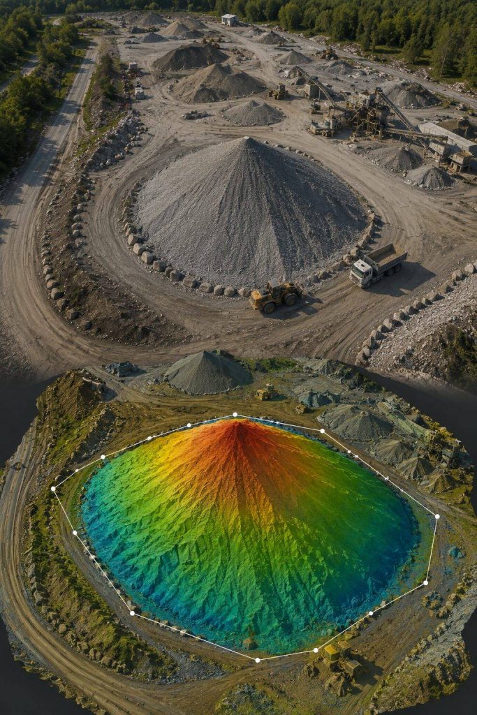
Ideal For

Stockpiles
Gravel, sand, soil
and aggregate quantities.
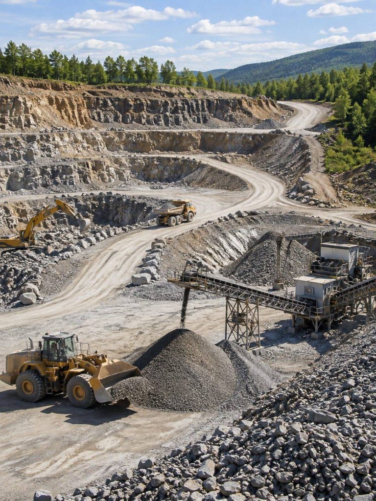
Gravel Pits & Quarries
Measuring material across
large extraction areas.
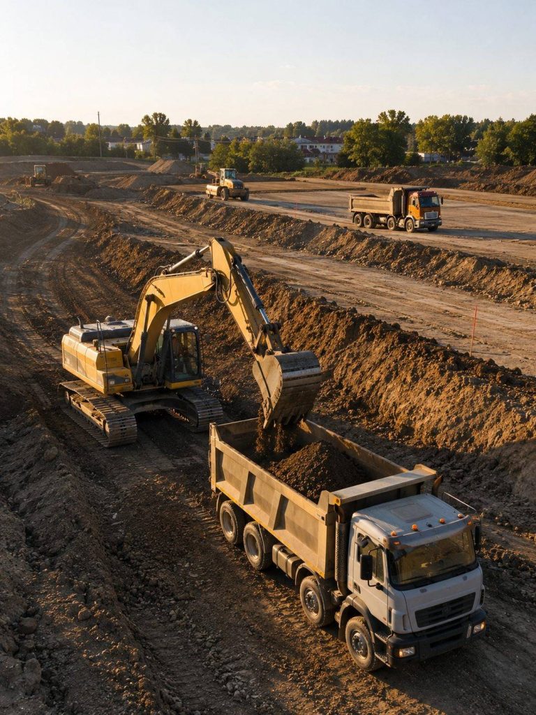
Excavation & Fill
Understanding quantities
across active construction sites.
Material Inventories
Documenting available construction materials.

Material Movement
Monitoring changes in quantities over time.

Production Reporting
Supporting periodic inventory
and production reporting.
Capture more. Access less.
Efficient Surveys for Large or Difficult Areas
Traditional measurement methods can be challenging when dealing with large or irregular stockpiles, steep slopes or areas containing operating equipment.
Drone-based volumetric surveys can capture an entire area efficiently while reducing the need for personnel to walk over active stockpiles or difficult terrain.
Surveys can also be repeated at regular intervals, creating a consistent record of changing quantities, from annual or monthly inventory measurements to more frequent surveys during active construction or material production.
From aerial imagery to measurable data
One Survey. Two Powerful Outputs.
The resulting 3D model and scaled orthomosaic provide clients with
both measurable data and a clear visual record of site conditions at the time of the survey.
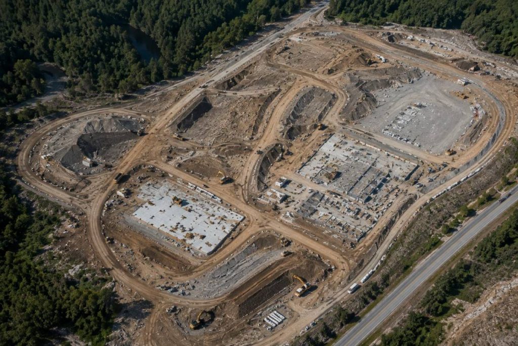
Orthomosaic
A scaled, accurately positioned aerial representation of the project site.
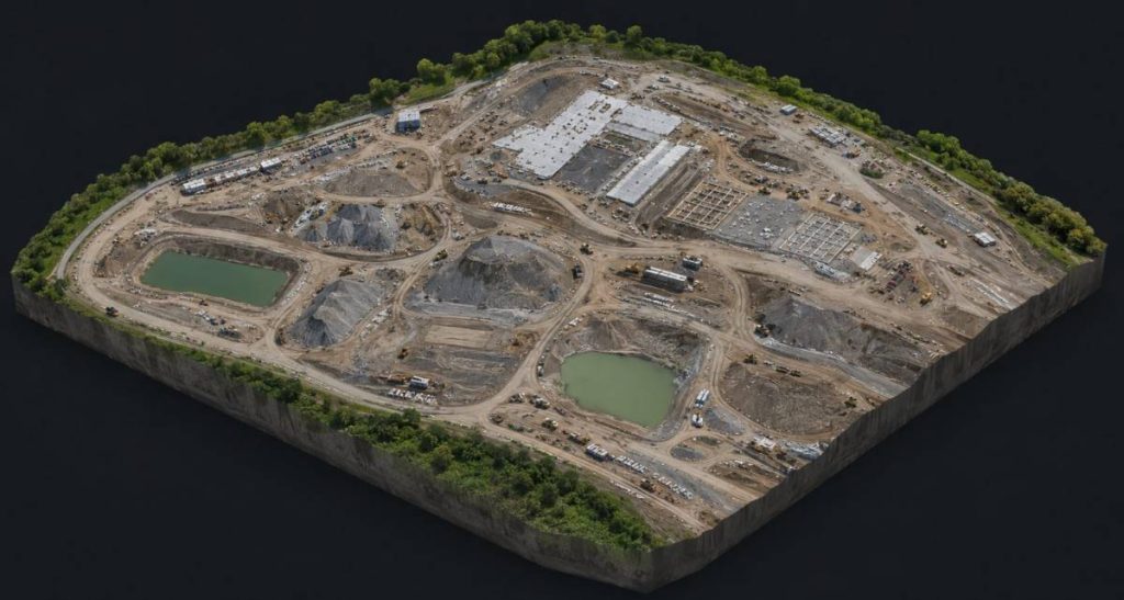
3D Model
A detailed three-dimensional representation that can be used to understand and measure terrain, materials and site conditions.
Survey & engineering integration
Aligned With Your Survey Control and Design Data
Aerial data can be aligned with established survey control and incorporated with engineering and design information to produce accurate, project-ready deliverables.
Survey Control Integration
Aerial data can be aligned with established survey control and incorporated with engineering and design information to produce accurate, project-ready deliverables.
Engineering & Design Data
Aerial datasets combined with engineering and design information for direct comparison.
DWG & DXF Compatibility
Deliverables supplied in CAD-ready formats that drop into existing workflows.
Project Coordinate Alignment
Aerial imagery georeferenced to your project coordinate system, not a generic grid.
Combined Datasets
Aerial and conventional survey data merged into a single consistent dataset.
Project-Ready Deliverables
Mapping and 3D outputs prepared for immediate use by project teams.
Get in touch
Request a quote
Tell us about your project, and we’ll provide a
tailored quote based on your requirements.