Portfolio
Proven expertise across Canada’s most demanding projects
From major pipeline construction to mining and enterprise aerial capture, explore the projects behind decades of surveying and geospatial expertise.
Featured projects
Four case studies in infrastructure, energy, mining, and drone technology.
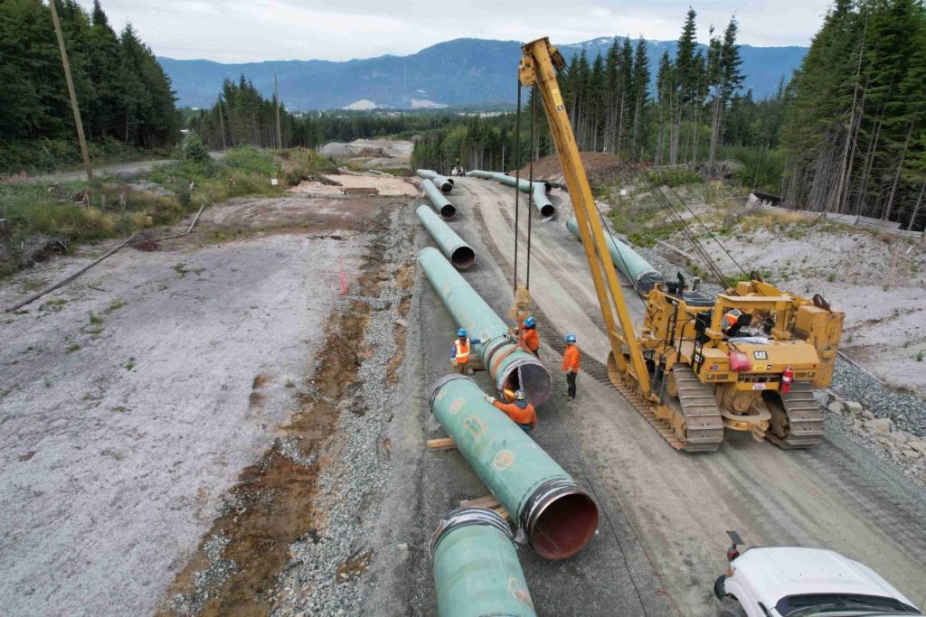
Infrastructure & Pipeline Construction
Trans Mountain Expansion (TMX)
Wesley Mossing provided surveying, geomatics, and construction support across Spread 7, the Burnaby Terminal, the Westridge Terminal, and approximately the final 16 km of pipeline.
Challenge
Deliver reliable survey data across multiple construction phases and complex infrastructure environments.
Solution
Delivered survey control through the pipeline route and both terminals, including the approximately 2.5 km tunnel, and administered the project’s Propeller photogrammetry platform for more than 500 authorized personnel and stakeholders.
Key outcomes
Improved construction accuracy
Reliable field coordination
Efficient project progress support
Survey Management
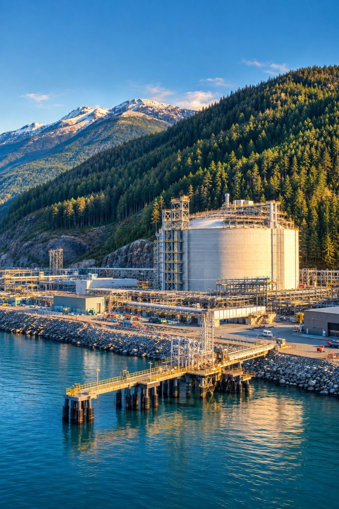
Woodfibre LNG Project
Wesley Mossing served as Survey Manager during the early stages of one of Canada’s largest LNG developments near Squamish, British Columbia. The project remains under construction.
Challenge
Establish surveying operations for a complex energy infrastructure project requiring high accuracy and continuous site coordination.
Solution
Led survey management, construction layout, and geospatial support through the first year and a half of the project, and administered the Propeller site used for aerial imagery and photogrammetry.
Key outcomes
Survey control established early
Streamlined construction workflows
Aerial data access for hundreds of users
Surveying & Geomatics
Mining & Heavy Civil Infrastructure
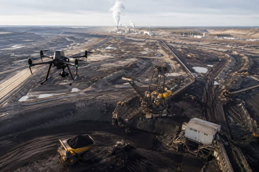
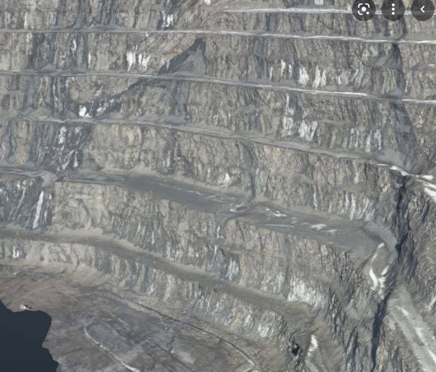
Wesley Mossing brings over four decades supporting mining and heavy civil projects across Canada, from Ontario gold mines and Alberta oil sands to coal and diamond mining operations.
Challenge
Deliver precise surveying across diverse and demanding environments spanning multiple industries and regions.
Solution
Combined traditional surveying expertise with modern geomatics and project management to support safe, efficient project delivery.
Key outcomes
Reliable surveying across multiple industries
Decades of large-scale project experience
Trusted support for complex environments
Aerial Data & Innovation
Leadership in Drone Technology
Wesley Mossing led the adoption of enterprise aerial capture to improve construction planning, surveying, and project communication as Ledcor’s Chief Drone Pilot.
Challenge
Provide fast, accurate aerial data for large construction projects requiring continuous progress monitoring.
Solution
Established Ledcor’s drone program, conducted orthomosaic missions exceeding 1,000 photographs, and delivered datasets for engineering teams.
Key outcomes
Improved project planning and communication
Enhanced progress monitoring
Aerial data used by 500+ personnel